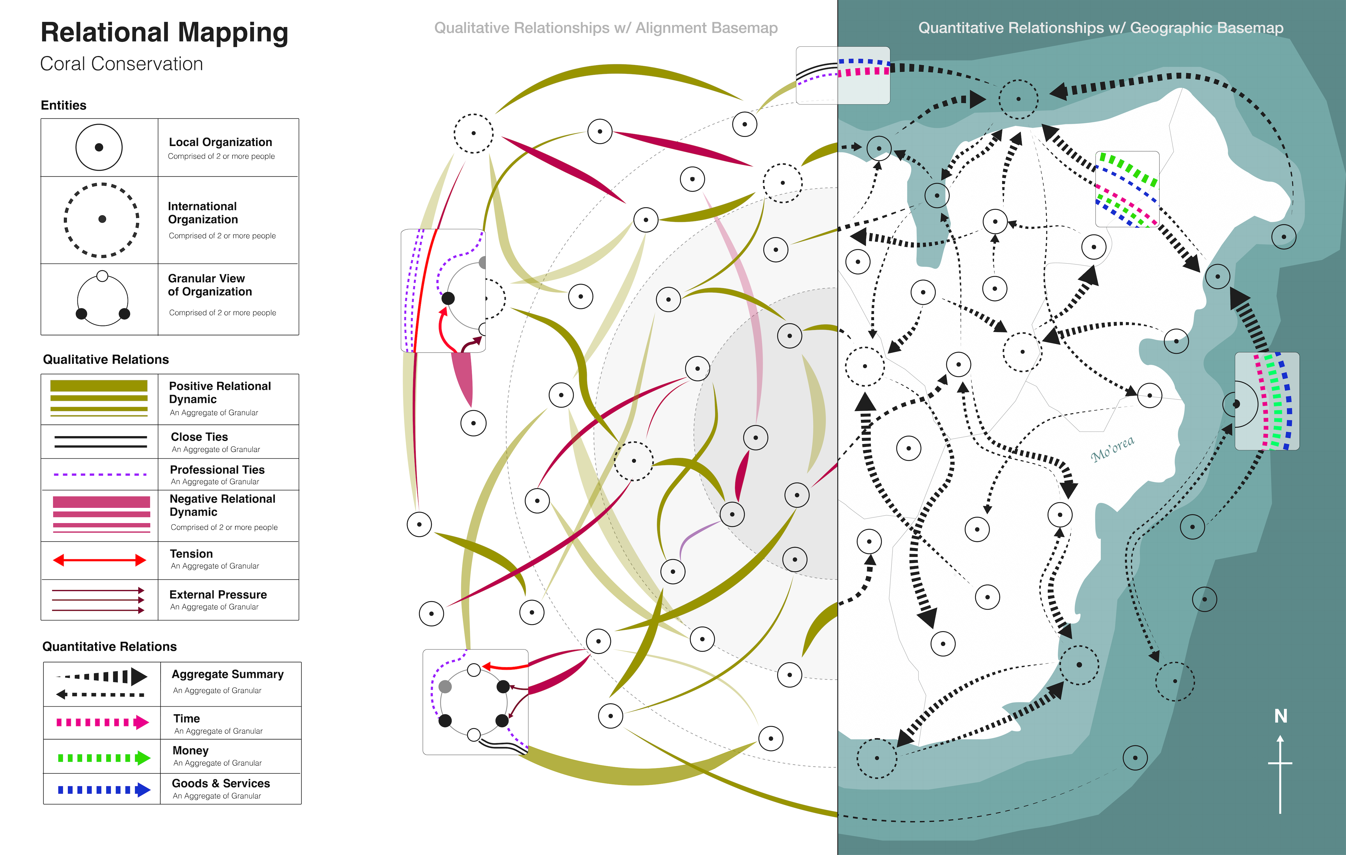
A brief overview of our visual system.
Conservation doesn’t happen in isolation. It is shaped by networks of relationships—who holds power, how resources move, and which voices are heard. Yet these dynamics are often invisible in traditional planning. The Relational Design Language (RDL) is a visual system we’ve developed to make those dynamics visible, legible, and actionable.
Relationships are the hidden architecture of conservation. They determine whether efforts succeed or stall, whether trust deepens or fractures. By mapping these connections, RDL allows practitioners to see ecosystems not just as natural systems, but also as living social systems. With this perspective, organizers can spot leverage points, diagnose conflicts, and design collective strategies with greater clarity.
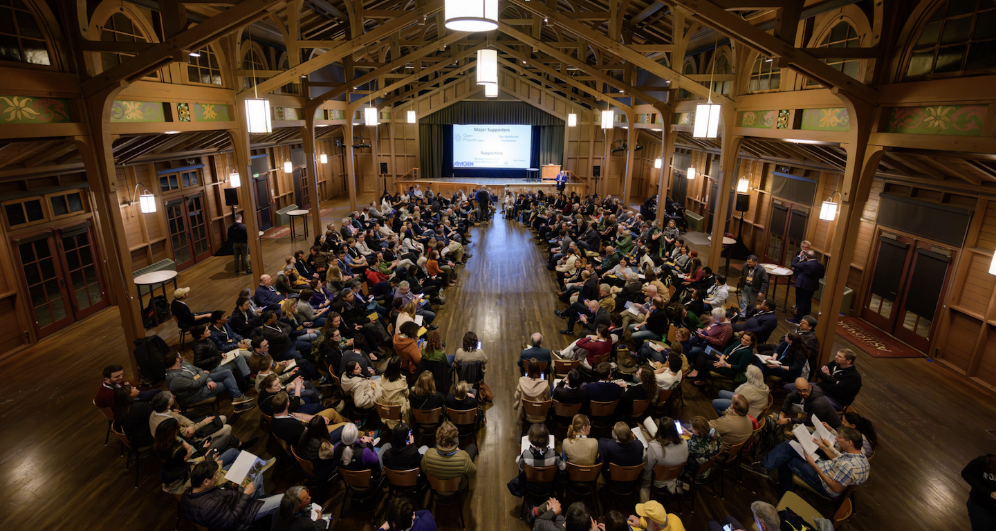
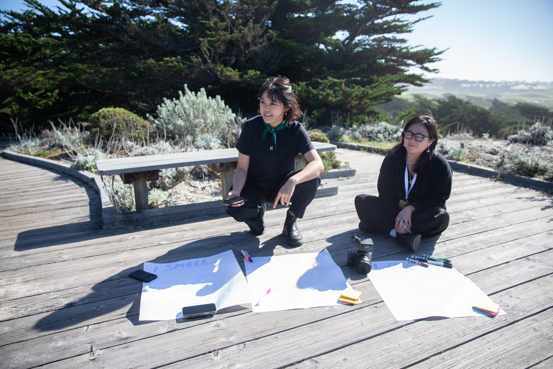
The process starts with interviews. Local stakeholders share who they work with, how those relationships operate, and what challenges or resources shape the health of their ecosystem. These conversations double as trust-building: they surface insights while also building early bonds.
From there, we translate the interviews into data—identifying the people, organizations, and networks in play; their attributes (local vs. international, large vs. small, formal vs. informal); and the connections between them. These connections might be flows of money, time, or knowledge—or interpersonal alliances, disputes, and shared commitments.
That data is then rendered as maps using RDL. Each map shows:
Draft maps are shared back with the people we interviewed. This feedback loop ensures accuracy and surfaces nuances that don’t always show up in transcripts. The result: maps that are co-created, contextually grounded, and deeply useful for community decision-making.
Across our case studies in Mo’orea, Micronesia, and Jamaica, RDL revealed distinct relational patterns: where power was concentrated, where values aligned or diverged, and where opportunities existed for building stronger coalitions. These maps provided clarity not just for researchers, but for the communities themselves—helping them see their own networks in new ways, and chart paths forward with greater autonomy.
At its core, RDL is about making power visible. Following Marshall Ganz’s definition of relational power—“power with” rather than “power over”—RDL equips communities to recognize the dynamics shaping their ecosystems, question them, and re-design them. In doing so, it helps shift conservation from a purely technical exercise into a truly relational practice.